
📋 About the Branch
The Surveying Technology Branch is a specialized branch within the Civil Engineering Department at the newly established Najaf Technical Institute. It aims to prepare technical personnel with scientific and practical competence in land surveying, photogrammetry, remote sensing, and the production of digital and topographic maps using the latest engineering equipment and software. The branch focuses on training students in the use of Geographic Information Systems (GIS) and Global Positioning System (GPS/DGPS) technologies and their applications in construction, road, and urban planning projects, keeping pace with technological and scientific advancements in the field of surveying engineering.
🎯 Vision, Message, Objectives, and Graduate Job Description
To achieve excellence and innovation in training specialized technical personnel in the field of surveying technologies, both scientifically and practically, to meet the needs of the job market and keep abreast of modern developments in spatial measurement and analysis
- To develop technical performance by updating curricula and surveying laboratories to meet international quality standards, and to involve branch members in specialized training courses
- To contribute to community service by conducting courses and workshops in surveying and geomatics applications to support high-quality reconstruction and construction projects
- To exchange theoretical and practical expertise with counterpart departments and branches in technical institutes and colleges, and with the public and private sector job market
- To provide technical and engineering consultations in the fields of surveying and geographic information systems to government institutions and the private sector
The Surveying Technology Department graduate is a highly skilled technical professional capable of performing field and office surveying work with high accuracy. They possess the following skills:
1. Performing triangulation, ridge surveying, and leveling operations to establish horizontal and vertical ground control points using various surveying instruments such as theodolites, levels, total stations, and DGPS.
2. Conducting topographic surveys and site mapping for various engineering projects, and preparing general and accurate topographic maps.
3. Creating maps from aerial photographs and data using surveying equipment and specialized software for processing aerial images and extracting ground features.
4. Designing and producing maps according to Iraqi and international standards, using modern digital equipment and software.
5. Preparing digital maps and Geographic Information Systems (GIS) to collect, monitor, store, analyze, and update spatial data, and to generate thematic maps necessary for engineering and planning projects.
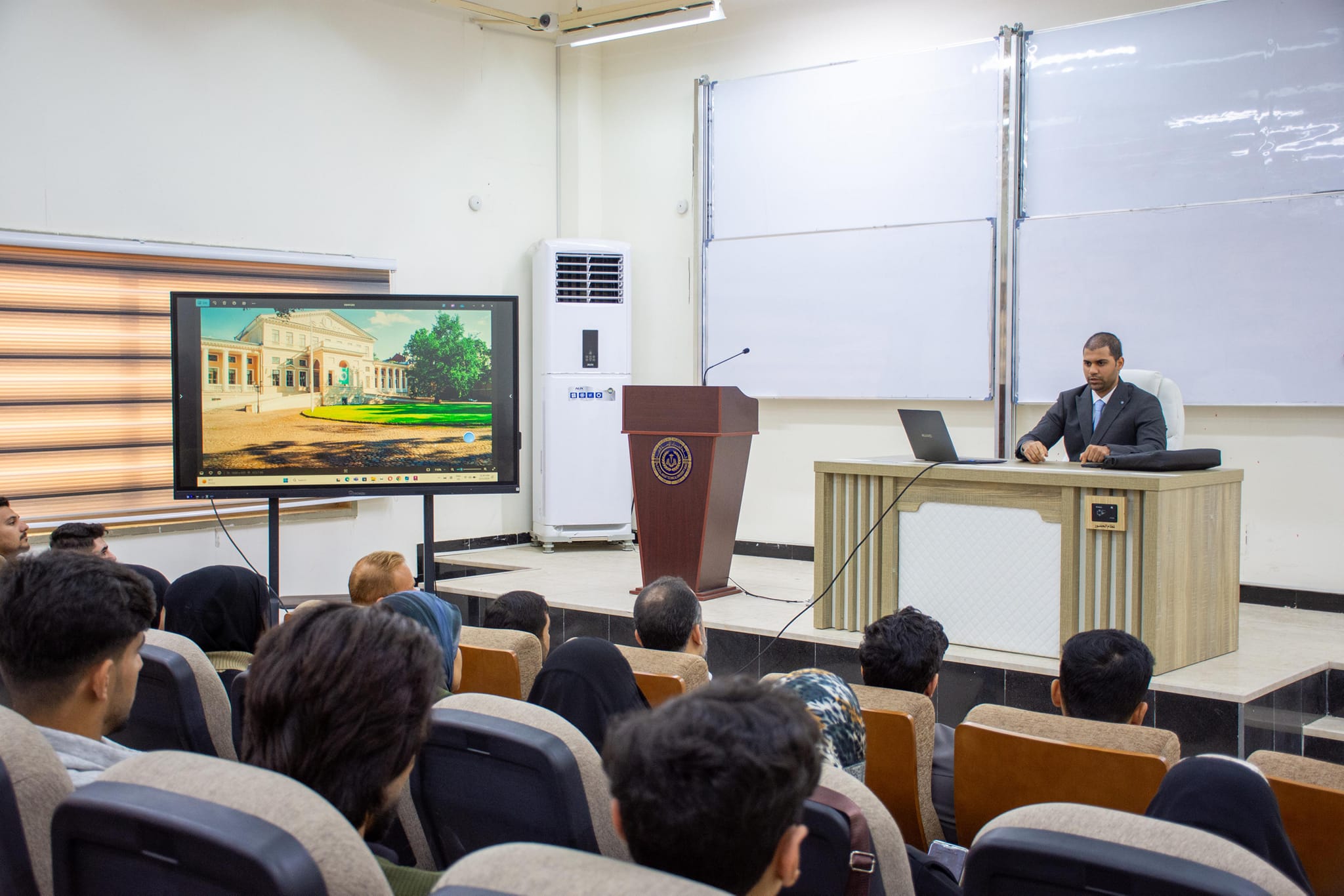
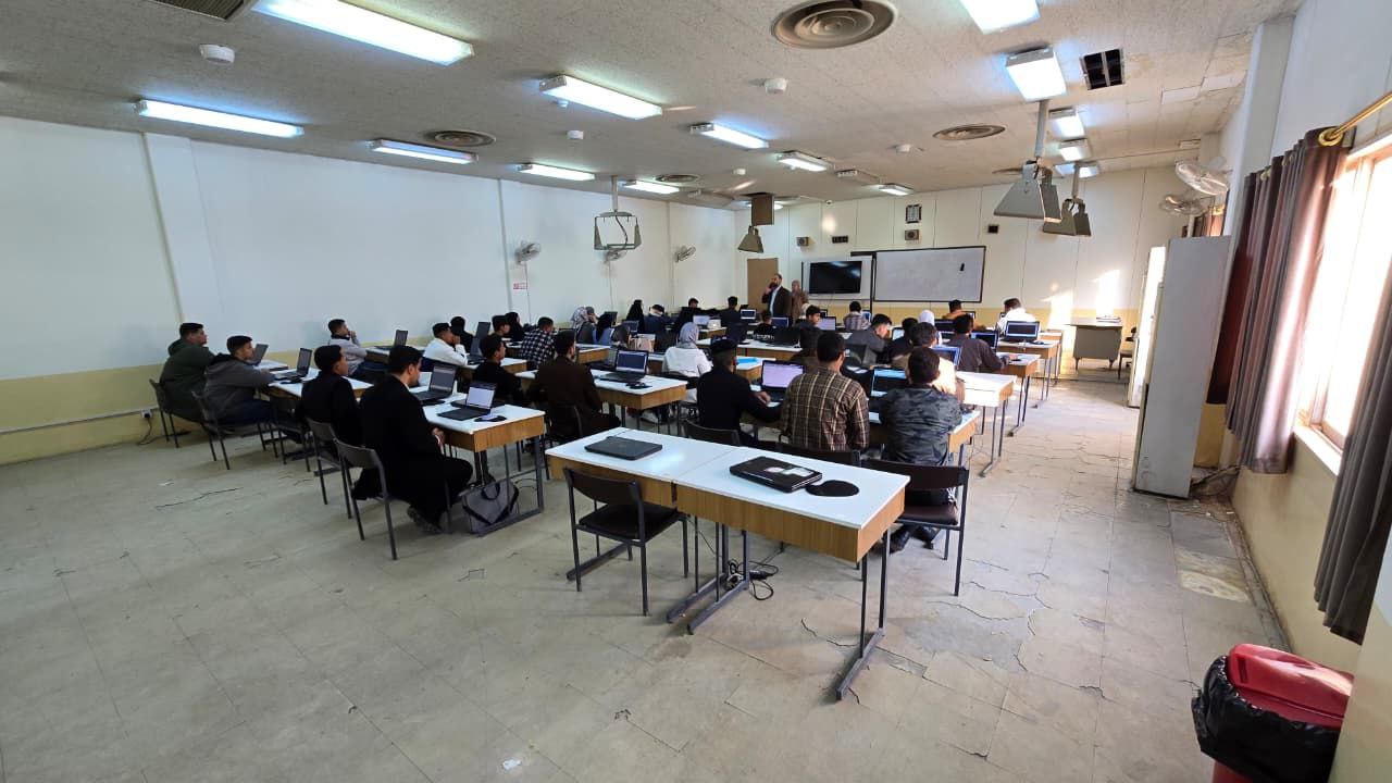
📷 Photo Gallery